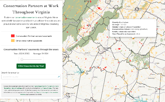
Conservation Partners at Work Throughout Virginia
This was my final project in the UKY's New Maps Plus certificate program and it's a map I feel particulary proud of. While I'm continuing to develop my skills, I feel like this map showcases how much I've learned throughout the program and where I can take the maps I create in the future.
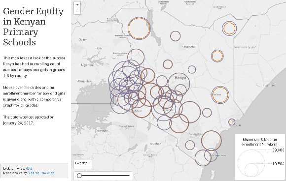
Gender equity in Kenyan Primary Schools
This is a map I created while in the middle of my final course as part of the New Maps Plus certificate program. During the two weeks we worked on this project, we explored in more depth about how to design for the intended users of the map and learning additioanl ways to work with and display data. Another facet of this project was being introduced to to another css framework,Mapbox's Assembly.css.
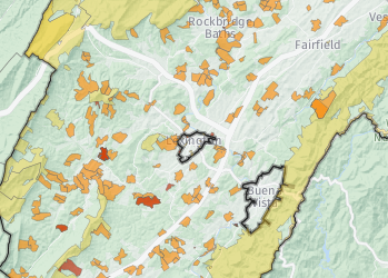
Conservation Easements in Rockbridge Co., VA
This map, hosted on CARTO, shows the conservation easements in Rockbridge County, Virginia. It also provides statistics about the easements overall and the individual easements when clicked. The data was obtained from VA DCR Natural Heritage.
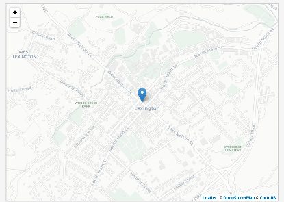
Map of Lexington, Virginia
This map allowed me to practice my JavaScript skills learned each week in MAP 672. A fun map, it shows spots around town and a dog walk route that I frequent with my pup.
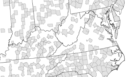
Flea Markets in the U.S.
This map was created as part of an extra challenge in MAP 371, and is my favorite from the course, showing the county with the highest rate of flea markets per person and the county with the largest number of flea markets. I created it in QGIS 2.18.10 with data obtained U.S. Census Bureau TIGER products and the POI Factory.

Amenities in Denver, CO
This map was created in MAP 672 using JavaScript. It reveals amenities located within 1 kilometer of any clickpoint in Denver. Amenities include stores with food, fire stations, and after-school programs.
